Nicortech, your best certified drone partner

Thermography
Detecting heat patterns and temperature anomalies using thermal imaging.
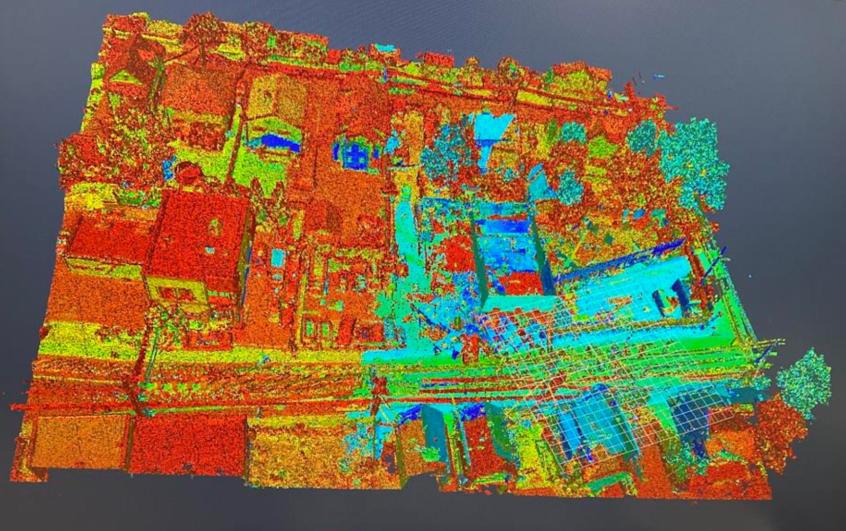
Lidar
Creating accurate 3D maps by measuring distances with laser pulses.
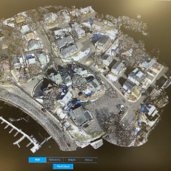
Photogrammetry
Creating accurate 2D maps and 3D models from overlapping photographs.

For the last ten years…
…certified professional drone pilot in Canada, USA and France ; and also certified FLIR, I have been helping companies from understanding their needs, getting authorizations, choosing the best technologies to capture the best accurate data following specific projects.
My operational experience includes data acquisition missions for infrastructure inspection, such as roads, buildings, bridges, railways, and industrial sites, including chemical plants. Using high end cameras: thermal (H20T), Lidar (L1&L2), P1 and PhaseOne IXM.
https://www.linkedin.com/in/nicolasreboux